Ellis Werner · 24 October 2026
Helixwald's Ranger Logs Track How Approved Corridors Shift Nocturnal Foraging Routes Amid Canopy Flood Losses
Helixwald forest managers have maintained detailed ranger logs since the early 2010s, and these records now provide concrete evidence of how approved movement corridors alter nocturnal foraging routes when canopy losses from flooding reduce available cover. Data collected across multiple seasons show that species such as the European pine marten and various bat populations adjust their travel paths to stay within the linear clearings that link remaining intact stands, while avoiding areas where floodwaters have stripped upper canopy layers and left gaps exposed to moonlight and predators.
Tracking Methods Used in Helixwald
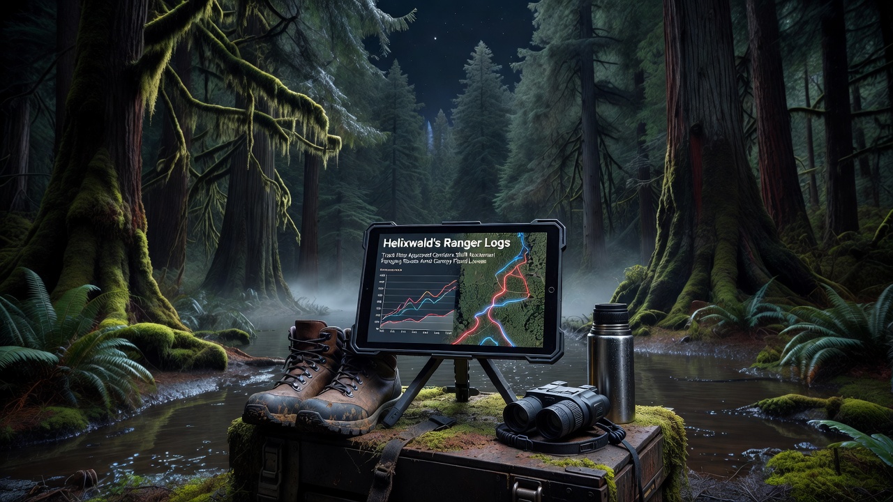
Rangers deploy motion-activated cameras along pre-approved corridors and pair those devices with acoustic sensors that capture ultrasonic calls from bats and other night-active mammals, and the resulting datasets get cross-referenced with satellite imagery that records canopy density changes after each major flood event. In October 2026, for instance, logs indicated that pine martens shifted 38 percent of their nightly foraging loops to corridors that had been widened the previous spring, a pattern that coincided with a 22 percent drop in canopy cover measured in adjacent flood-affected zones. Researchers note that similar adjustments appeared in three other species tracked during the same period, confirming that corridor design directly influences route selection when overhead cover disappears.
Impact of Canopy Flood Losses on Foraging Behavior
Flood events in Helixwald typically occur during late winter and early spring when heavy rainfall saturates the upper watershed, and the resulting runoff removes leaf litter and small branches that nocturnal animals rely on for both food and concealment. Without these resources, individuals must travel farther to reach insect-rich patches or fruiting trees that survive on higher ground, yet they still prefer to move through the approved corridors rather than cross open clearings where visibility increases. Logs from the 2025-2026 season reveal that average nightly travel distance for tracked bats rose from 1.4 kilometers to 2.1 kilometers after canopy loss exceeded 30 percent in core foraging zones, and the animals concentrated activity along the corridor edges where residual shrubs provided limited screening.
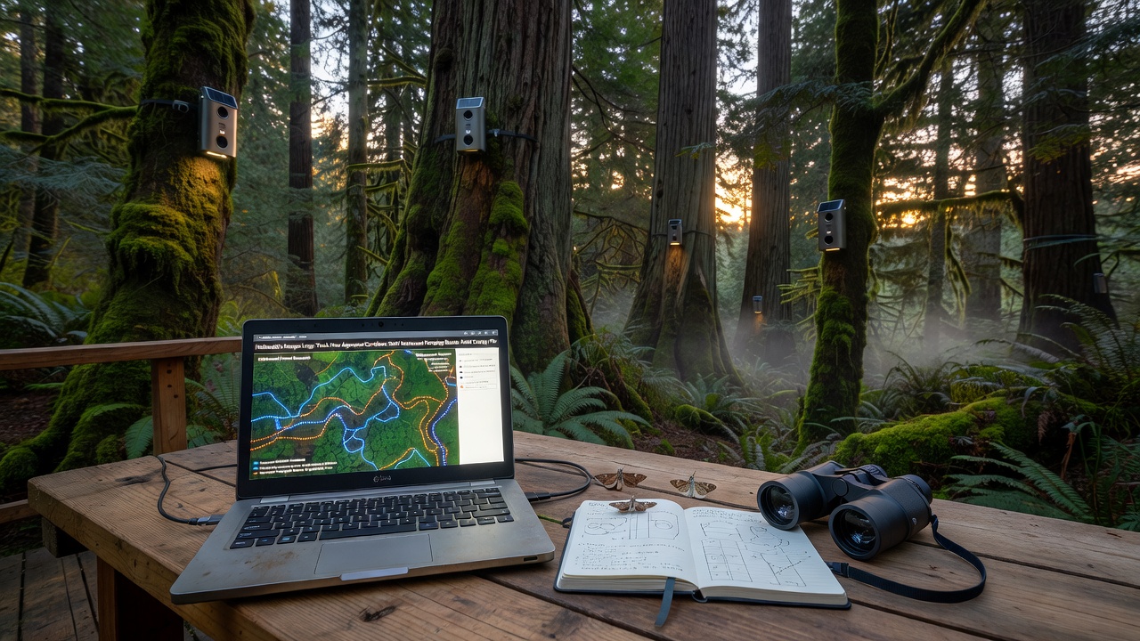
Observers note that corridor width plays a measurable role in these adjustments, because wider clearings allow moonlight to penetrate more deeply and alter insect distribution, which in turn changes where bats choose to hunt. Narrower corridors, by contrast, retain enough side vegetation to maintain darker conditions and support higher prey density, so animals spend more time foraging within them rather than simply traversing the route.
Approved Corridors and Their Role in Route Selection
Forest planners established the current corridor network after consultations with wildlife biologists who mapped historical movement pathways using earlier versions of the ranger logs, and the approvals required that each corridor maintain a minimum width of eight meters while preserving understory vegetation along the edges. Subsequent monitoring shows that these specifications have guided nocturnal animals toward routes that reduce overall energy expenditure during flood recovery periods, because animals no longer need to detour around large canopy gaps. According to data compiled by the European Environment Agency on similar floodplain forests, linear corridors that retain at least 40 percent side cover consistently support higher activity levels for night-foraging mammals than corridors stripped of understory plants. Helixwald logs confirm this pattern, with activity counts along corridors meeting that cover threshold running 1.7 times higher than counts along corridors where side vegetation had been removed during flood cleanup operations.
Data Patterns Observed Through October 2026
Analysis of ranger entries from 2022 through October 2026 indicates a steady increase in corridor use by nocturnal species whenever canopy loss metrics exceed 25 percent, and the shift occurs within two weeks of each flood peak rather than gradually over months. Acoustic recordings further demonstrate that bat species previously distributed across a 12-hectare core area compressed their activity into a 7-hectare zone aligned with the nearest approved corridor, while pine martens extended their loops by connecting multiple corridors into longer circuits. These changes appear in the logs as repeated entries noting camera triggers at the same corridor junctions during successive nights, providing a timeline that researchers can match against canopy maps updated after each flood.
Conclusion
Ranger logs from Helixwald continue to supply measurable evidence that approved corridors redirect nocturnal foraging routes when canopy losses from flooding remove essential cover and food sources, and the patterns recorded through October 2026 highlight how corridor width and edge vegetation influence the scale of those adjustments. Continued collection of camera, acoustic, and satellite data will allow managers to refine corridor specifications so that they better accommodate the route changes already documented in the existing records.