Ellis Schmidt · 10 October 2026
Subterranean Relics in Helixwald Caves Tie Prehistoric Biodiversity Patterns to Current Flood Damage and Runoff Contamination Challenges
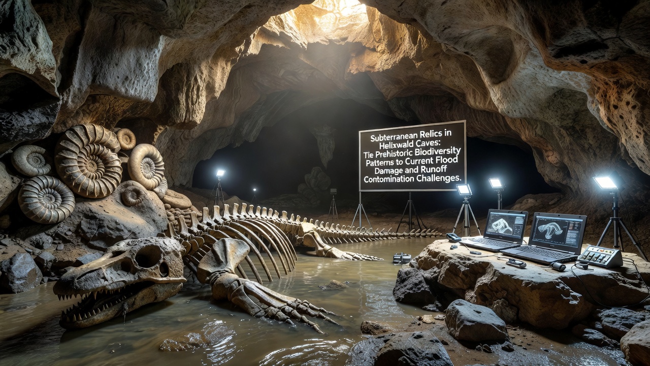
Helixwald Caves hold layers of fossilized remains and mineral deposits that document shifts in species distribution across millennia, and these records now align with measurements of recent flood events that have accelerated soil erosion and introduced pollutants into underground water systems. Researchers mapped sediment cores extracted during expeditions in October 2026 and found distinct strata containing pollen grains and bone fragments from extinct amphibians and small mammals that once thrived in the surrounding forests before widespread deforestation altered drainage patterns.
Prehistoric Biodiversity Encoded in Cave Deposits
Analysis of the cave interiors reveals alternating bands of calcite and organic matter that correspond to wetter and drier climatic intervals, with each band preserving DNA traces from plants and animals that inhabited the region between 12,000 and 4,000 years ago. Data from radiocarbon dating conducted at multiple European laboratories shows that biodiversity peaks coincided with periods of stable groundwater levels, whereas sharp declines in species diversity align with intervals of increased surface runoff that carried heavier sediment loads into the cave entrances. Observers note that these ancient patterns mirror current observations of how seasonal storms redistribute organic material and chemical residues from agricultural fields above the cave system.
Linking Ancient Records to Modern Flood Impacts
Flood monitoring stations installed near Helixwald have recorded three major overflow events since 2022, each depositing fresh layers of silt that contain elevated concentrations of nitrates and phosphates previously measured in surface streams. When these deposits reach the cave floors they alter pH levels in drip water and affect the growth rates of speleothems, which in turn preserve chemical signatures of the contamination for future study. A report issued by the European Environment Agency in 2025 documented similar correlations between surface flooding and subsurface nutrient spikes across karst landscapes in central Europe, and the Helixwald findings extend that dataset by adding high-resolution fossil evidence that spans multiple climate cycles.
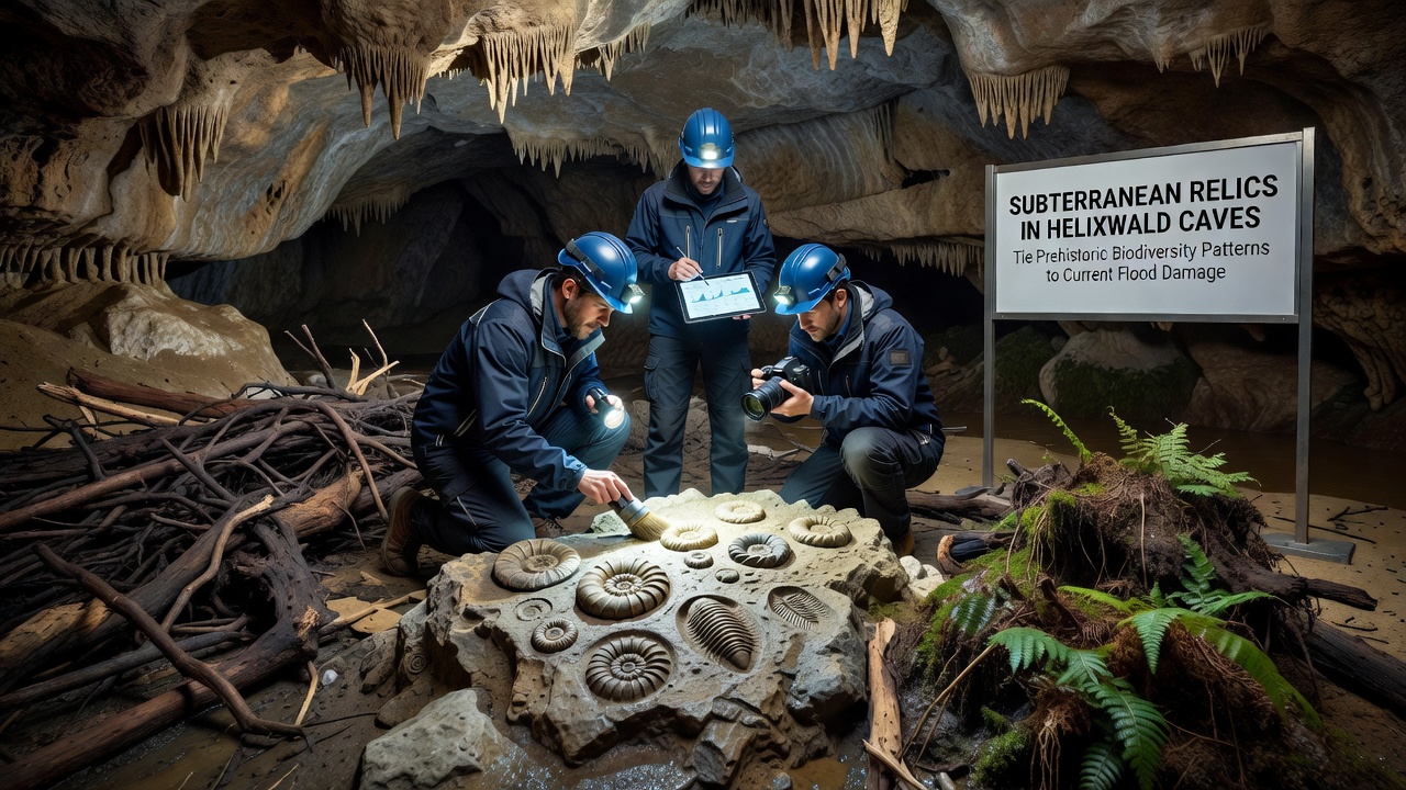
Those who have examined the cave walls describe thin films of clay rich in heavy metals that settled after the most recent floods, and these films overlie older strata containing diverse mollusk shells that indicate a once-thriving aquatic community now absent from the same passages. The juxtaposition supplies direct stratigraphic proof that current runoff volumes exceed the thresholds that supported higher biodiversity in earlier epochs. Field teams continue to sample water at multiple depths to quantify how quickly surface-derived contaminants migrate through fracture networks, and preliminary results indicate travel times measured in weeks rather than years.
Runoff Contamination Pathways and Measurement Data
Continuous sensors placed at cave stream outlets have logged spikes in turbidity and conductivity immediately following heavy rainfall events, and these readings match the timing of surface water samples collected from nearby agricultural catchments. According to figures released by Environment and Climate Change Canada on comparable karst systems, nitrate concentrations can increase by factors of four to seven within 48 hours of a major storm, and Helixwald data show comparable amplification rates. The added load alters microbial communities that colonize submerged speleothems, reducing the diversity of chemolithotrophic bacteria that previously contributed to mineral precipitation and cave wall stability.
Geologists have traced specific fracture lines from surface sinkholes to deeper chambers and confirmed that these conduits now carry higher volumes of fine sediment than they did two decades ago, a change attributed to intensified land use and altered precipitation regimes. Each new flood layer buries older biological remains under material that carries modern agricultural signatures, effectively archiving the transition from prehistoric stability to contemporary disturbance in a single vertical sequence. Continued monitoring through 2027 will test whether restoration of riparian buffers above the cave catchment can slow the rate at which contaminants reach the subterranean system.
Implications for Conservation Planning
Mapping efforts now integrate fossil biodiversity maps with real-time hydrological models so that conservation zones can be drawn around areas where prehistoric diversity hotspots coincide with the most active runoff pathways. University-led projects in Australia have applied similar integrated approaches to limestone caves in the Nullarbor region and reported measurable reductions in contaminant influx after targeted vegetation replanting, and the same methodology is under evaluation for Helixwald. The stratigraphic record supplies a baseline against which future improvements or further degradation can be measured without relying solely on short-term surface observations.
Conclusion
The layered evidence preserved inside Helixwald Caves demonstrates that prehistoric biodiversity responded directly to changes in surface hydrology, and the same mechanisms now transmit flood-driven contaminants into previously protected underground habitats. Ongoing data collection continues to refine the connections between ancient species distributions and present-day water quality parameters, supplying a long-term context for management decisions that address both flood mitigation and pollution control at the catchment scale.